Visitors Guide to Western Kentucky

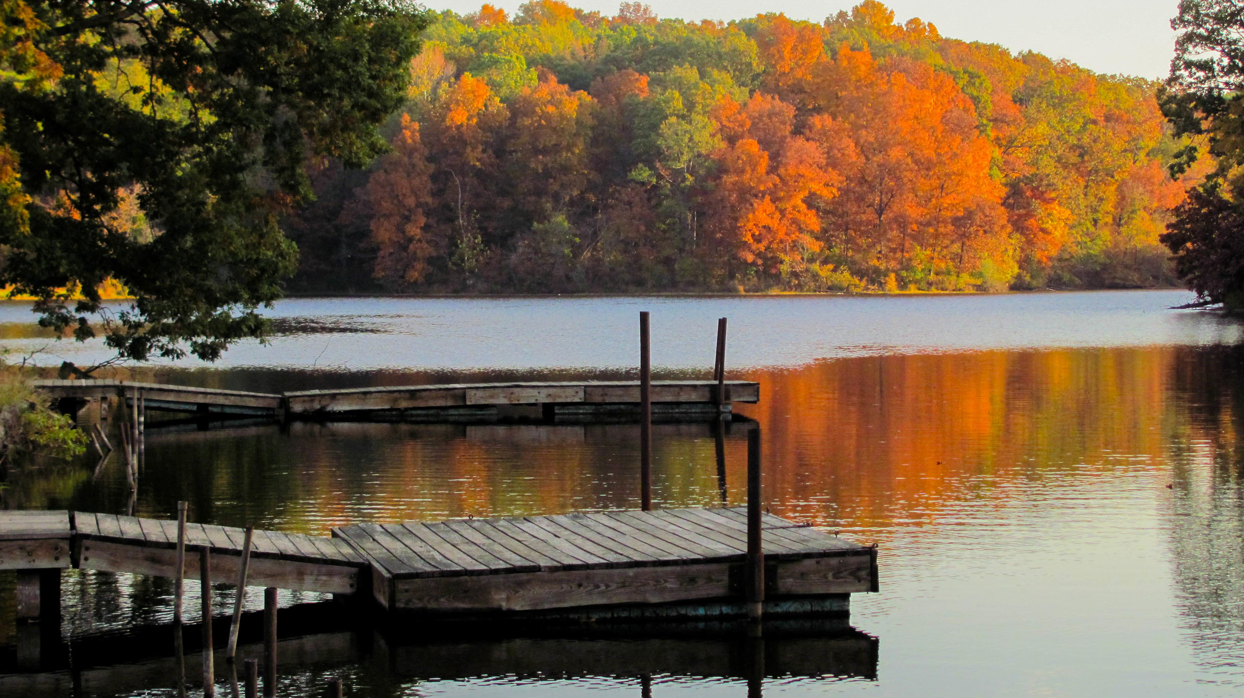
Dorena-Hickman Ferry
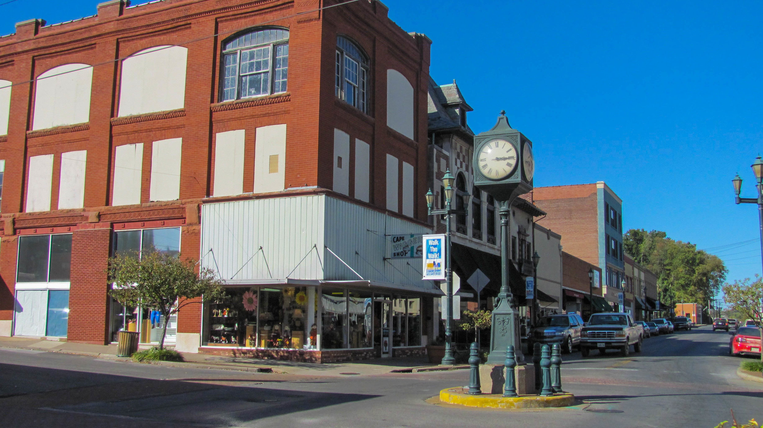
Hickman, Kentucky
Western Kentucky has been inhabited by humans since 13,000 BC. Historical remains of Native American inhabitation can be seen at Wickliffe Mounds in northwestern Ballard County. This archaeological site of a village of the Mississippian mound builders is located on a bluff overlooking the Mississippi river. This complex settlement, was occupied from about 1100 A.D. to 1350 A.D., featured permanent houses and earthen mounds situated around a central plaza. The inhabitants farmed the river bottoms and participated in a vast trade network. The French explorers Jacques “Pere” Marquette and Louis Joliet were the first Europeans to explore the area and their expedition claimed the Middle Mississippi River Valley for the French. At that time Western Kentucky was mostly the territory of the Chickasaw tribe. The end of the French and Indian War in 1763 saw France ceding all lands in Canada and all lands east of the Mississippi, including Kentucky, to the British. Possession of Kentucky went to the United States at the end of the Revolutionary War in 1783. The westernmost part of Kentucky, west of the Tennessee River, was recognized as hunting ground belonging to the Chickasaw by the 1786 Treaty of Hopewell.
At first Kentucky was a part of Virginia. Several factors contributed to the desire of the residents of Kentucky County to separate from Virginia. First, traveling to the state capital was long and dangerous. Second, offensive use of local militia against Indian raids required authorization from the governor of Virginia. Third, settlers felt they received unfair treatment from the courts concerning land claims. Last, Virginia refused to recognize the importance of trade along the Mississippi River to Kentucky's economy. Kentuckians struggled for years but finally on June 1, 1792 the United States Congress accepted the Kentucky Constitution and admitted it as the 15th state. Settlement in Western Kentucky was sparse until 1818 because of attacks by the Chickasaw. In 1818 the U.S. Federal government purchased the claims to a large territory held by the Chickasaw. This area comprised the lands bounded by the Mississippi River to the west, the Ohio River to the north, and Tennessee River to the east. It also included all of Tennessee west of the Tennessee River. This acquisition was called the Jackson Purchase, after Andrew Jackson who was a major land speculator at the time and who would later become the seventh President of the United States. The Jackson Purchase includes all 8 western Kentucky counties. The four counties of Western Kentucky that border the Mississippi River are Ballard, Carlisle, Hickman, and Fulton.
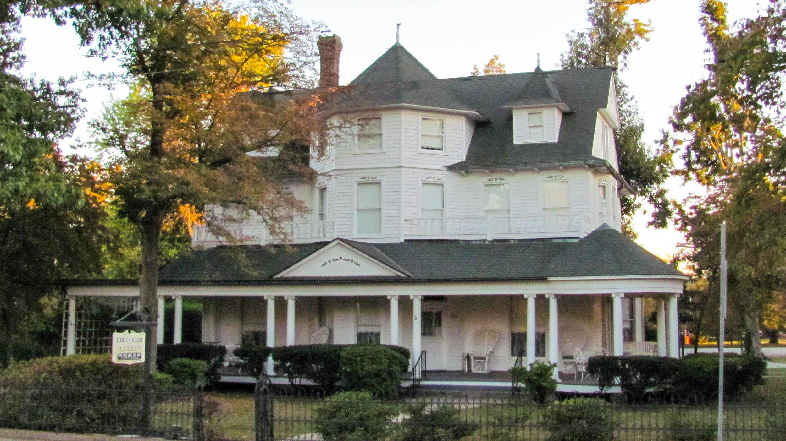
Barlow House Museum
Barlow, Kentucky
Hickman County was formed in 1821 and named after Captain Paschal Hickman who was killed during the War of 1812. Ballard County was organized in 1842 from portions of Hickman County and McCracken County and was named after Captain Bland Ballard, a member of the Kentucky General Assembly. Its county seat is Wickliffe. Carlisle County was formed in 1886 from part of Ballard County and was named after John Griffin Carlisle, a Speaker of the United States House of Representatives. Its county seat is Bardwell. Fulton County is the westernmost of Kentucky's counties and was organized in 1845 from Hickman County. It was named in honor of Robert Fulton, then American engineer and inventor who is widely credited with developing the first commercially successful steamboat. Its county seat is Hickman. Visitors to Western Kentucky can explore the history of these counties and their communities at local museums including the Fulton County Museum in Clinton, the Carlisle County Museum and Library in Bardwell, and the Barlow House Museum in Barlow.
During the Civil War Confederate Major General Leonidas Polk violated the Commonwealth's neutrality in September of 1861 by ordering Brigadier General Gideon Johnson Pillow to occupy Columbus. Columbus was of strategic importance both because it was the terminus of the Mobile and Ohio Railroad and because of its position along the Mississippi River. Polk constructed Fort DuRussey which he called "The Gibraltar of the West" on the high bluffs and equipped it with 143 cannons. To control traffic along the river, Polk stretched an anchor chain across the river from the bank in Columbus to the opposite bank in Belmont, Missouri. Today Columbus-Belmont State Park interprets the fort as well as providing recreational and natural activities.
Western Kentucky provides it visitors with a variety of activities, whether it be riding across the Mississippi River on the Hickman-Dorena ferry, interacting with nature at sites like the Ballard Wildlife Management Area, or visiting the many historical museums and sites.