Monroe County, Illinois

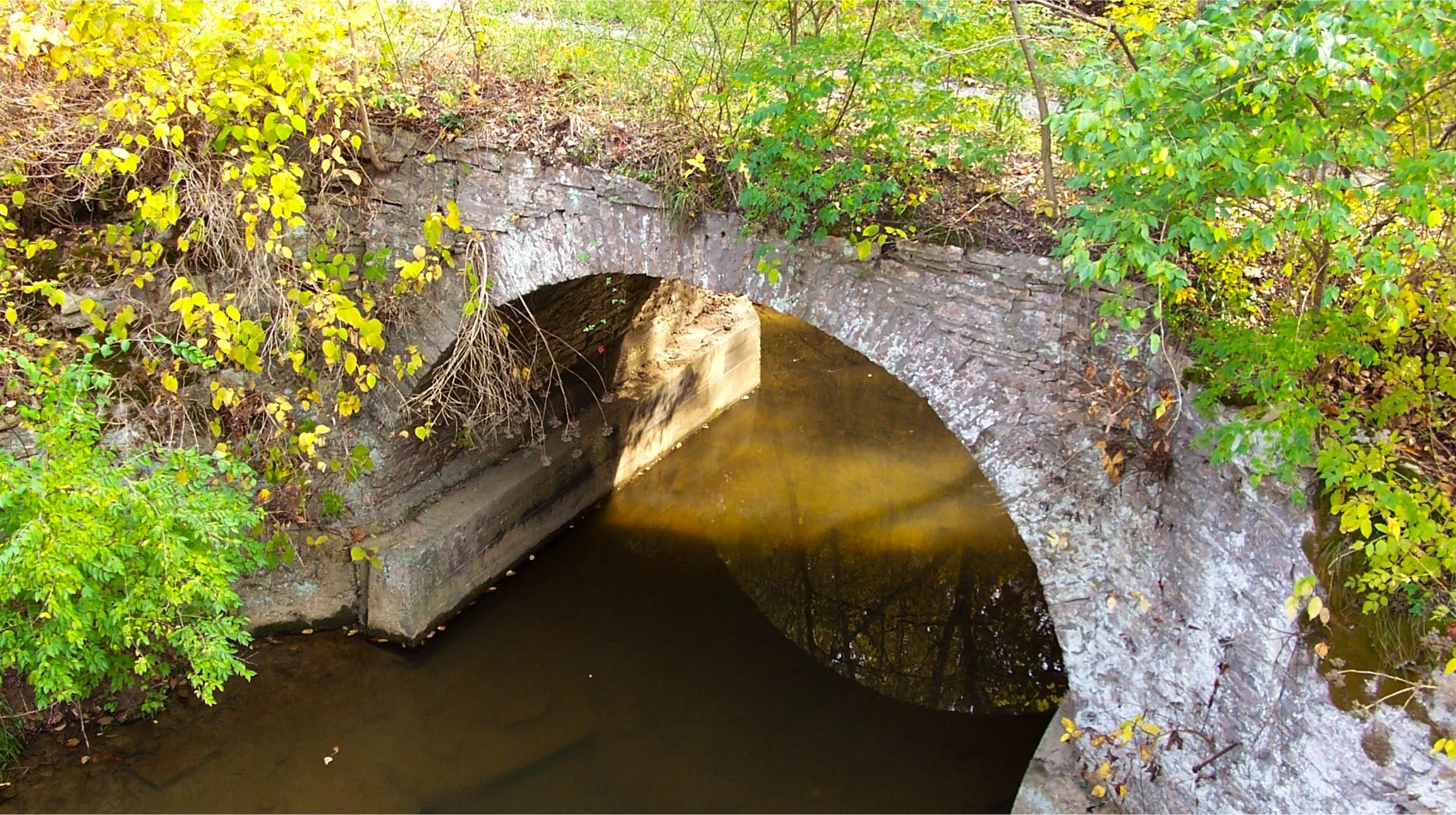
The Baum Bridge
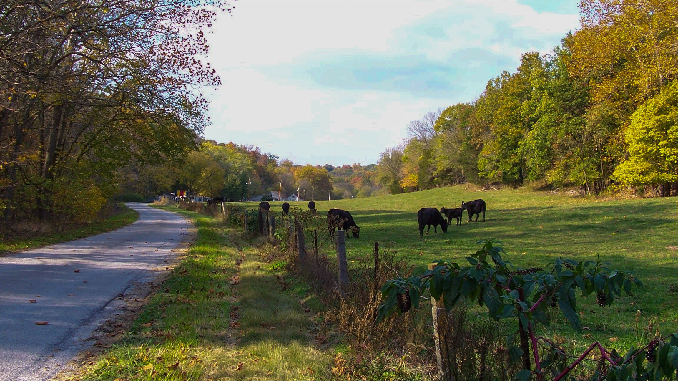
A Field of cows near the Baum Bridge
The landscape of Monroe County is dotted with a number of European-style stone arch bridges. The arch was first used by the Roman Empire for bridges and aqueducts and is still a popular design because it can withstand extreme conditions. German immigrants to Monroe County in the mid 18th century borrowed this design and used the abundance of local limestone to construct bridges over area streams and creeks, many which are still standing and a few that are still in use. greatriverroad.com has put together an easy driving tour to see a few of these structures. The scenery along the route is especially nice during the autumn color season.
The tour starts in Columbia near the intersection of IL-3 and Gall Road at the southern end of town. Follow Gall Road and almost immediately you will see a red brick building on the left. The stone bridge will be near the brick building. Following Gall Road will lead through changing scenery of farms with livestock and shaded forest lanes and ends at Hanover Road. Take a left on Hanover Road and travel east until you reach IL-3. Take a right on IL-3 and travel south into the town of Waterloo.

The Monroe County Welcome Center at the Gall Bridge

The Wartburg Bridge
Near downtown Waterloo IL-3 intersects with IL-156 and you should take a right on IL-156 and an immediate left onto Lakeview Drive. Follow Lakeview Drive south towards Wartburg and Maeystown as it turns into Maeystown Road. In Wartburg you will see the Holy Cross Lutheran Church. This first Lutheran Church in Monroe County was organized in 1841 and the current building was built in 1863. English services were first introduced in 1946 while monthly services in German lasted until 1967. Approximately 1/2 mile past this church you will see a stone bridge in the middle of a field on your left.

The iconic bridge in Maeystown
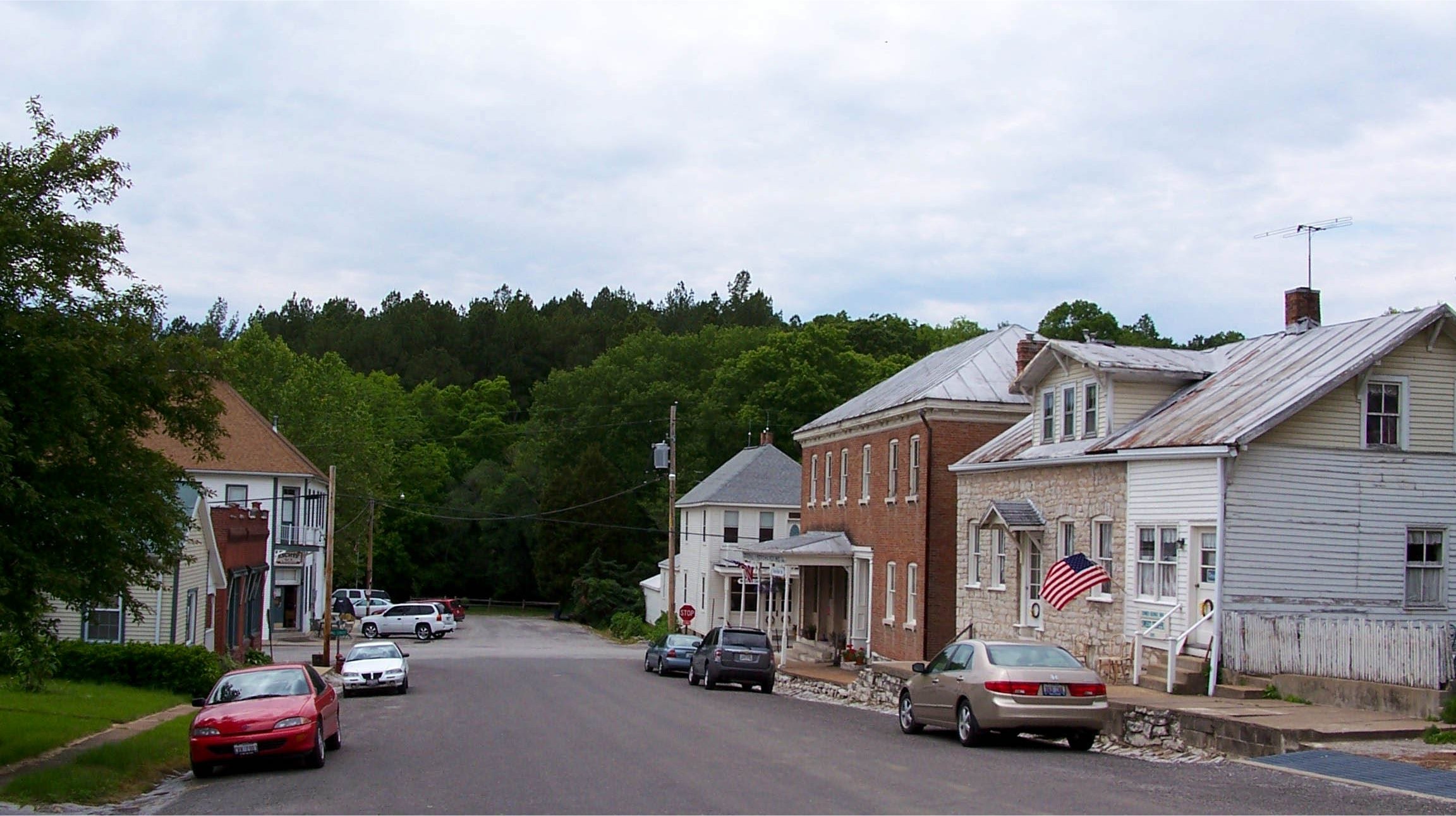
Continue on Maeystown Road until you see the sign directing you into Maeystown. You will cross over a stone bridge as you approach the center of town. This quaint village is situated in the hills just above the bluff line that separates the American Bottom lowlands and the interior uplands. In 1852 Jacob Maeys, an immigrant from Bavaria, founded a village he called Maeysville by laying out part of the property he owned into lots. The entire village was placed on the National Register of Historic Places in 1973, one of only a handful of communities in the country to have this distinction. Visitors can see a variety of stone structures including houses, the arched bridge, the church, the flourmill, and numerous retaining walls. Although the historic enterprises of the village are long gone, there are several local shops, a B&B, and a tavern that continue to operate.
The next bridge is located on Baum Road, which is near the western edge of town. Take Maeystown Road west out of the center of Maeystown and take a right on Baum Road and travel 1/2 mile up the hill. At this point it gets a little confusing, as you will need to take a right to continue on Baum Road. After traveling approximately 2 1/2 miles on this scenic winding rural road you will notice a stone bridge that crosses a creek on your left.
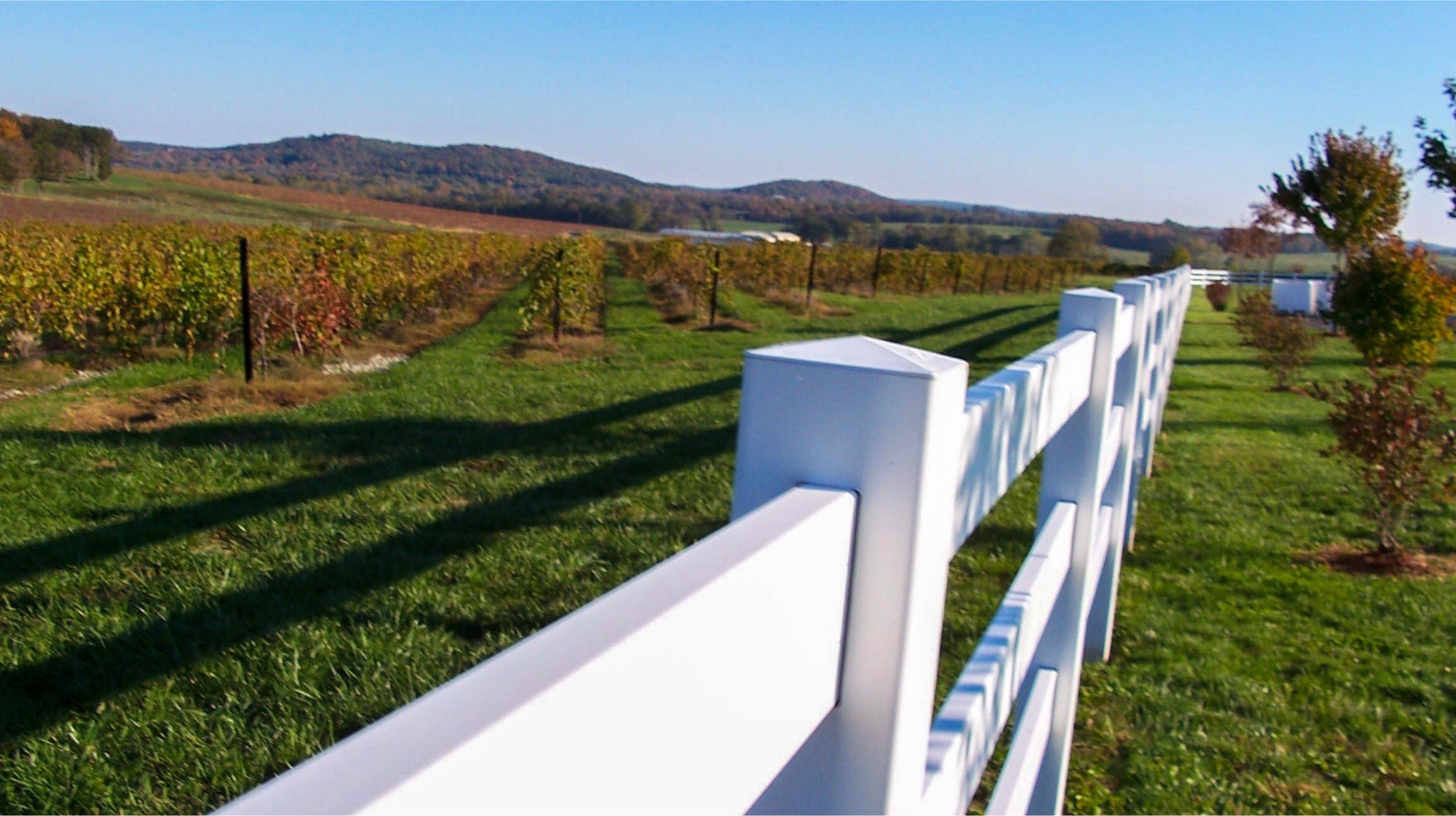
Continue on Baum Road until it intersects with County Road KK and take a left. Follow County Road KK through the town of Monroe City until it intersects with Bluff Road and take a right. Bluff Road is a scenic route with the tree-lined bluffs on one side and the American Bottom on the other. The American Bottom is a sixty mile strip of fertile lowlands that attracted French colonists before the Revolutionary War. This area of the country was considered the bread basket of French controlled territory along the Mississippi River all the way down to New Orleans. Bluff Road will intersect with IL-156 (Main Street) in Old Valmeyer. Take a right on IL-156 and go east.
The Trout Bridge

A country road in rural Monroe County
On the left, one mile past the water tower in New Valmeyer, will be D Road. This last section of the tour has a number of scenic spots as you wind your way through both agricultural fields and forests. Take D Road one mile until it intersects with Trout Camp Road. Take a right on Trout Camp Road. The last bridge on the tour will be a little less than 1 mile on the right. Continue on Trout Camp Road, bearing left when it intersects with Deer Hill Road until Trout Camp Road intersects with IL-156. Take a left on IL-156 and travel east until you are back in Waterloo.

Explore the Monroe County, Illinois area.